CCI vMaps

Maps for the vCity CCI app, with Martin-served layers.

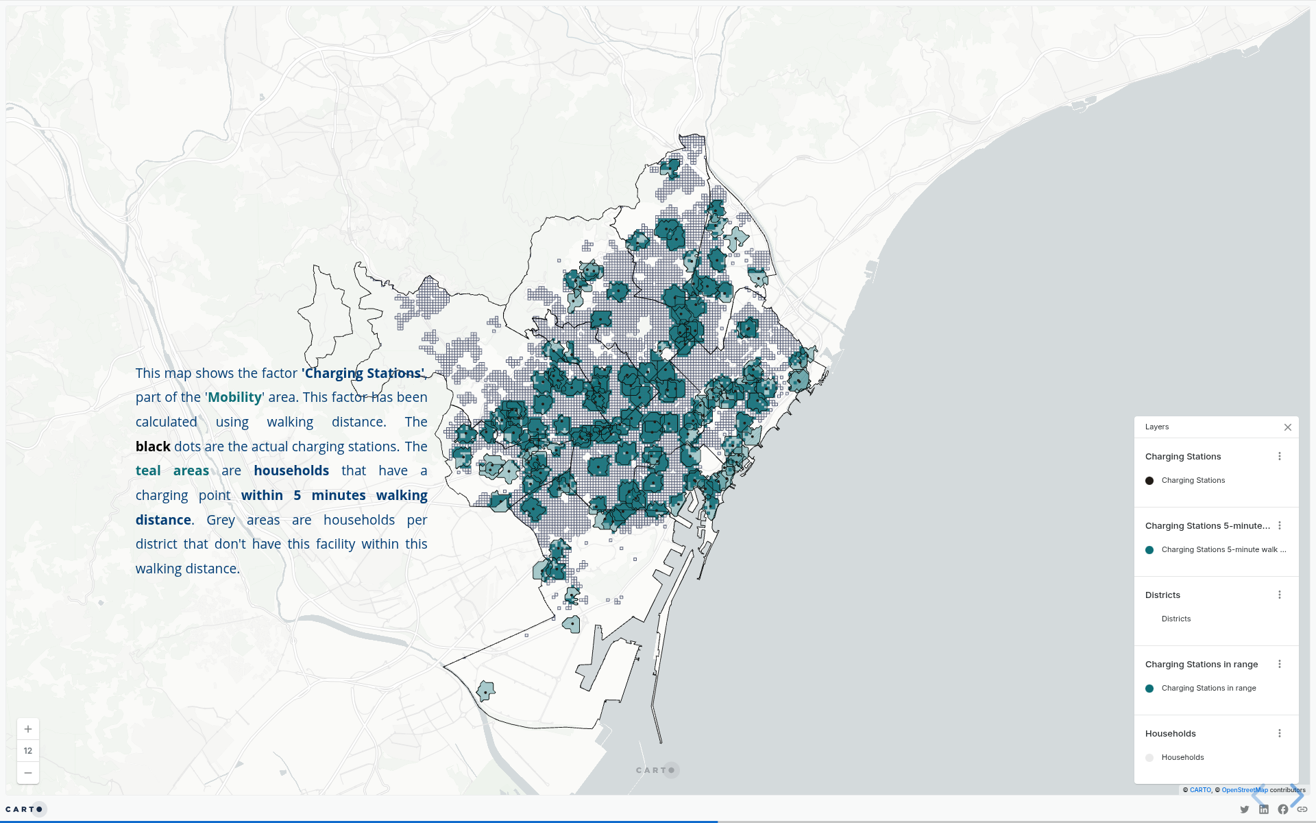
Map 1 - Charging Stations

This map shows the charging stations in relation to the population by district.

Layers used:

  • Charging stations points
  • Charging stations 5 min walking distance buffers
  • Charging stations in range grid
  • Households grid
  • Districts

Map 2 - EPC Labels

This map shows the EPC labels by district and the relative percentage of labels above D.

Layers used:

  • Districts

Map 3 - KPI's

This map shows all of the KPI's layers.